


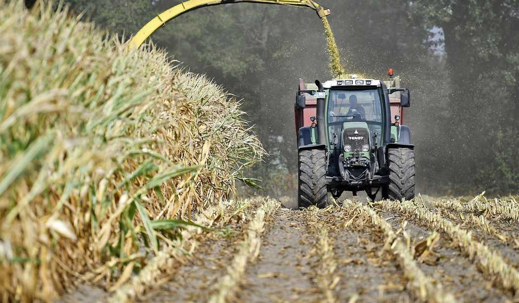
Bloomberg News seems unaware that a principal underlying cause for both bumper crops and crop failures resides way out in the middle of the Pacific Ocean.
Climatologists and meteorologists point to a natural phenomenon known as “ENSO,” the El Niño-Southern Oscillation, while farmers around the Great Plains anxiously await tardy rains.
What does ENSO mean in layman’s terms?
Many have heard that El Niño (Spanish for “the boy”) weather events bring above-average moisture to the US grain belt. When that happens, certain other weather features naturally fall into place.
Surface waters off the Pacific coast produce substantially more moisture from evaporation during an El Niño, which is warm, and less during a La Niña (Spanish for “the girl”), which is cool.
An El Niño drives vast amounts of moisture eastward from the Pacific into the US. Even more moisture may be added as the flow continues over the Gulf of Mexico and then up into the interior United States, contributing greater than average rainfall to the southern, central, and eastern United States.
The La Niña that ended during the latter part of the winter left the ENSO in a neutral condition. Now it may be about to enter another El Niño. If it does, much of the current drought in parts of North America will moderate or disappear. Time will tell.
La Niñas contribute to drought conditions in portions of the United States and other global regions mentioned in a recent Reuters article, but they do the opposite far to the south. For grain-producing areas of Australia, the humid Pacific air coming ashore over its northeastern coastline derives from evaporation of warm water pushed westward from the central Pacific. Consequently, Australian farmers benefit from greater than average rainfall during the La Niña phase of ENSO, in contrast to the American and Canadian grain belts, which benefit during El Niño.
Recommended

The main point, clearly missed by both Bloomberg and Reuters, is that what’s behind alternating drought and excess rainfall is no deep mystery. Both are driven by the ENSO.
What’s not so well understood is exactly why, and to what extent, the shifting position of warm water and its accompanying wind, evaporation, and rainfall patterns oscillate with some degree of regularity from the El Niño phase back to the La Niña phase. What drives the process?
When I asked the late Dr. Bill Gray, former hurricane expert at Colorado State University, during a climate conference, he opined that it had to do with the movement of deep ocean currents that shuttle cold polar water toward the equator while the Gulf Stream and Japan Current carry warm water poleward.
There is, as he explained, a non-uniformity of temperatures in the cold-water masses that arrive and well up along the coastlines of Peru and Ecuador. The arrival of excess cold water pushes warmer water farther west toward the central Pacific and Australia, aided by offshore easterly winds. Eventually lesser amounts of cold water well up to the surface. Then warm water begins to return and may lead to the next El Niño.
Pronounced temperature differences in near-surface water also affect the circulation of surface winds and the progression of weather systems arriving in North America that continue far inland.
The Bloomberg and Reuters reporters might audit a course in meteorology before embarking on another foray into commodity forecasting, a task for which their compensation seems to exceed their understanding. They might also check in with meteorologist and weather historian Joe Bastardi of WeatherBellAnalytics for more pointers.
William D. Balgord, Ph.D., heads Environmental & Resources Technology, Inc. in Middleton, WI, and is a contributing writer for the Cornwall Alliance for the Stewardship of Creation.


Join the conversation as a VIP Member